These are stories about my travels and adventures. Check out more of the places I've been on the map.

Athens, the Greek isles, Rome, and Lake Como.
Read this entry →
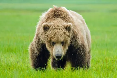
Sitka and Alaska's Kenai Peninsula, including an incredible bear viewing trip.
Read this entry →

Central Europe, featuring Berlin, Vienna, Budapest, and Munich.
Read this entry →

Arequipa, Colca Canyon, the Sacred Valley, and Machu Picchu.
Read this entry →
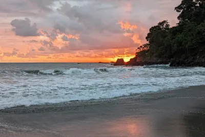
Costa Rica's Pacific coast and jungle interior.
Read this entry →

A tour of Portugal, with a brief detour into northwestern Spain.
Read this entry →
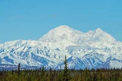
Alaska's Inside Passage, Glacier Bay, Denali, and Kenai Fjords.
Read this entry →

The Big Island of Hawaii, featuring manta rays, octopus, and horseback riding.
Read this entry →

A trip along Maine's coast, from Ogunquit to Eastport.
Read this entry →

My father, my brother, and I embark on a five-day adventure to climb Red Slate Mountain.
Read this entry →

A roadtrip beginning in Idaho, extending west to the Oregon coast, and then north to Washington's San Juan Islands.
Read this entry →
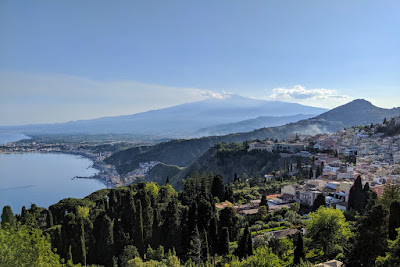
The crossroads of the Mediterranean, Sicily has fascinating history and culture, not to mention delicious food and wine.
Read this entry →