Posts Tagged: Mountaineering

Yosemite 2011

4 minutes to read — 844 words

Yosemite 2011

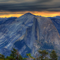
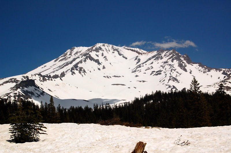
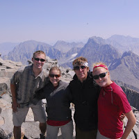
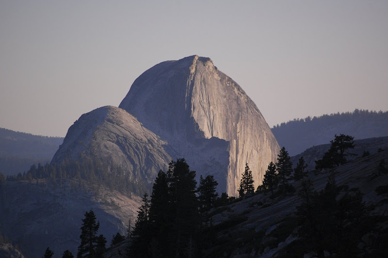
I spent the summer of 2011 working for the U.S. National Park Service in Yosemite. It was one of the best jobs I’ve ever had. I was doing legal work—public land use and government contracts. My job was usually a 9-5 day during the week, but my schedule was flexible and the days were long, so I had plenty of time to explore the park. The Park Service set me up a two-bedroom house in the employee village below Yosemite Falls.

Mount Shasta

4 minutes to read — 846 words

Mount Shasta

Fourteen thousand, one hundred, and sixty-two foot Mount Shasta is a dormant volcano that rises in solitary drama in the far north of California. A few years ago, I attempted the climb with my father. We were turned back by low snow, poor conditions, and severe dehydration. Over Memorial Day weekend I tried again with a group of friends from school.

Mount Shasta from Bunny Flat

We drove to Mount Shasta on Friday afternoon. That night, we camped at Bunny Flat, the trailhead for the popular Avalanche Gulch route at 6950′. Unusually for May, Bunny Flat was still covered in snow. That was a good sign—everything we’d seen and heard suggested that climbing conditions were significantly better than the last time I’d attempted the peak. We pitched a tent on a flat snow patch south of the road, and some of us slept outside on an exposed dirt patch beneath the stars.

Pyramid Peak

3 minutes to read — 631 words

Pyramid Peak

At 9,983′, Pyramid Peak is the highest point in California’s Desolation Wilderness. Since it is only about a three hour drive from the San Francisco Bay Area, Desolation Wilderness is the most heavily-used wilderness area in the United States. Thus exploring Desolation during the winter months has a number of advantages—not only do the snow-covered peaks make for spectacular vistas, but most of the visitors that swarm the area during the summer are kept away by colder temperatures and feet of snow.

Mount Silliman

4 minutes to read — 642 words

Mount Silliman

In late October of 2008, I led an attempt to climb Sequoia National Park’s 11,188-foot Mount Silliman as part of the Outdoor Education Program. We left Stanford on Friday evening and arrived at Lodgepole campsite a little after midnight. Mount Silliman is in the same area as a peak I climbed last spring, Alta Peak; Silliman lies a few miles to the northwest. We went to sleep almost as soon as we arrived.

Mount Sill

6 minutes to read — 1106 words

Mount Sill

Early in September of 2008, I attempted a climb of 14,153-foot Mount Sill in the Palisade Range of the eastern Sierras. About one year prior, I had tried the climb but was turned back on the second morning by inclement weather and ill health. On that trip I climbed Mt. Agassiz instead. This time I was determined to make the summit with my three friends, Kate, Whitney, and Ian.

Half Dome in Yosemite

Reaching the eastern Sierra from the Bay Area is difficult. We weren’t planning on hiking anywhere the first day, so we took our time on the drive, stopping at a few points along Yosemite’s Tioga Road to enjoy the sights. We pulled into the town of Bishop late that evening and spent the night in a hotel.

Half Dome

5 minutes to read — 883 words

Half Dome

At the end of June during the summer of 2008, I left for Yosemite with a group of Stanford Outdoors leaders. Our goal was to watch the sun rise from the top Half Dome.

We left campus late on a Friday afternoon. The drive was relatively painless; there was no traffic, but we were hampered by thick smoke from the forest fires burning in hundreds of locations across the state and endless stories about pet hermit crabs. We stopped for dinner at a place called Ofelia’s Taqueria in Tracy. We found a number of interesting items in our burritos, and none of us will be returning there.

Alta Peak

4 minutes to read — 795 words

Alta Peak

As an instructor for Stanford’s Outdoor Education Program, I led an introductory mountaineering trip to 11,204 foot Alta Peak in Sequoia National Park during May of 2008. We left the Bay Area at around 7:30 PM on Friday evening, and drove all the way to the park that night. We camped at Lodgepole, a front country campsite with a visitor center, market, flush toilets, and showers.

The next morning, we woke up, broke camp, and drove to the trailhead. At about 7,200 feet, the trailhead was low enough that there was no snow. However, the rangers had told us that snowshoes—and potentially crampons and ice axes—would be necessary for the climb. Due to these reports, we strapped snowshoes and a few ice axes to our packs and started up the trail.

Mount Agassiz

3 minutes to read — 471 words

Mount Agassiz

Shortly after I returned from Alaska in the summer of 2007, my family left for a short backpacking trip in the Eastern Sierra. My mother, my father, and I met my father’s high school friend, Chris, near the town of Bishop, California. Our goal was the 14,153 foot summit of Mt. Sill, a remote peak in the Palisade Range.

We left civilization at the South Lake trail head, at 9,755 feet. The first day we hiked up to Bishop Pass, at 11,960 feet. The elevation gain was about 2,200 feet, but over a distance of 7.5 miles. Once over the pass, we hiked down into upper Dusy Basin, a beautiful rocky region speckled with alpine lakes.

Round Top

6 minutes to read — 1277 words

Round Top

Just a few miles east of Kirkwood Ski Resort, across Highway 88 from Carson Pass, lies a mountain called Round Top. At 10,381 feet, the peak looks daunting, but it requires no technical climbing to reach the summit. I attempted to climb the peak with a group of nine other Stanford students through Stanford’s Outdoor Education Program.

We stepped out of two monstrous pickup trucks into a Sno-Park at Carson Pass around 11:30 PM on a Friday night. The beds of both pickups were full to the brim with backpacks, snowshoes, harnesses, shovels, and other gear necessary for our summit assault. The spring night was clear but warm, so we decided to sleep out under the stars in the parking lot between our trucks.

Grand Teton 2005

2 minutes to read — 409 words

Grand Teton 2005

One year after I climbed the Grand Teton for the first time, I returned to climb it again, this time with my parents. On my first climb, I’d taken the Exum Ridge route (5.4-5.5). This time, we would follow the path of the first ascent along the Owen-Spalding route.

Grand Teton from Jackson Lake

There’s a lot more hiking on the Owen-Spalding route than on Upper Exum Ridge. We walked without belay until we were around 12,000 feet. The first technical pitch is known as the Belly Roll. It’s a small v-shaped ledge around the side of the mountain. The ledge is only a foot or two deep, so you can wedge one leg into it, but the other hangs out over the 2,000 foot drop on the other side.